Submitted by citemageditor on Thu, 03/12/2009 - 00:54
 Two cyclists stand ready to help inaugurate the Columbia Tap trail. [Photo by Raj Mankad]
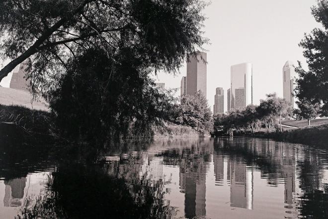
 With a folding bicycle in the foreground and the Downtown skyline as a backdrop, the picture above shows a remnant of the rail line now converted into the trail. It runs behind warehouses, churches, and houses. Alternating between industry and people's backyards, the experience is strangely intimate, a glimpse of the "real" Houston --- some dilapidated homes, unexpected places of beauty, a reversal of what tourists see. [Photo by Peter Wang]
 Cyclists on the Columbia Tap [This photo and all below by Raj Mankad]
 Volunteers from Trees for Houston, several area schools, Shell, and other organizations planted trees on either side of the trail.
 Texas State Senator Rodney Ellis, a steadfast supporter of cycling, helped plant a tree.
 The team behind the Columbia Tap trail included (from left) Dan Raine, City Bicycling-Pedestrian Coordinator; Ben Bansal, P.E., Supervising Engineer, City of Houston; Maher Said, Senior Project Manager, City of Houston; a person whose name I am missing; Mike Marcotte, P.E., DEEE, Director, Public Works and Engineering, City of Houston; Fawzi Abou-Hossa, P.E., TxDOT; and another person whose name I am missing.
 Houston Roller Derby skaters and Cite editor, Raj Mankad
Fluorescent socks worn by Peter Wang, a certified League of American Bicyclists Cycling Instructor and a geophysicist.
 Several hundred people gathered at Texas Southern University, which the Columbia Tap passes through, to listen to Congresswoman Sheila Jackson Lee, Mayor White, and several other officials. It was an impressive show of support for bicycling infrastructure.
Last Saturday morning, a large crowd celebrated a little trail. The newly completed Columbia Tap connects the area east of the George R. Brown Convention Center to the Third Ward. Over 4 miles in length, it follows the former Union Pacific Railroad right-of-way creating a north-south corridor roughly bounded by Dowling Street on the west and Scott Street on the east. Here is a link to the not-very-clear Columbia Tap route map.


