Today is Juneteenth, the holiday that marks the end of de jure slavery in the American South. Though President Lincoln issued his Emancipation Proclamation in 1863, freedom for enslaved peoples in Texas didn’t occur until 1865, when a Union army general landed at Galveston to announce the federal order. In 1980, Texas became the first state to recognize the celebration as a state holiday.
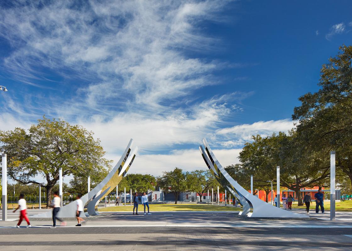
The holiday has an important place within the built environment of Houston. In 1872, formerly enslaved individuals joined together under the leadership of Reverend Jack Yates to purchase land on which to celebrate Juneteenth; this land became Emancipation Park. The grounds became an official city park in 1918, making it technically Houston’s oldest park, as Sam Houston Park was opened in 1900. The park was expanded in the 1930s and served a central role in the Third Ward’s mid-century flourishing. After a period of decline, the park was renovated and rededicated in 2017. That same year, the adjacent street was renamed Emancipation Avenue; it was previously Dowling Street, named for a Confederate commander during the Civil War. Looking ahead, plans are currently in the works to create an African American Historic Trail from Galveston to Houston.
Emancipation Park is the historic site of Juneteenth celebrations in Houston. This year marks the park’s 148th annual celebration. Due to COVID-19, the festivities are being held online, with content being shared using the #wearejuneteenth hashtag. For more information, visit the Emancipation Park Conservancy website.
For the first time, and under the leadership of newly appointed Provost Reginald DesRoches, this year Rice University is offering a series of reflections and lectures to mark the holiday. A number of university professors are sharing their thoughts; a schedule and Zoom link can be found here.
Cite publishes criticism about Houston’s built environment. Even though we broadly address how communities in Houston respond to and anticipate development, gentrification, preservation, and natural disasters, among other topics, at times we have also reported on how systemic racism was and is at work in the construction of our city.
Offered in a spirit of reflection during a tumultuous season, here are several articles from the Cite Archive to revisit on this holiday.
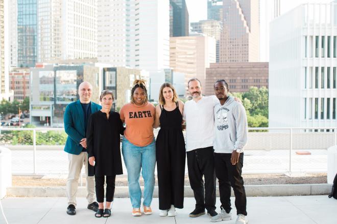
- In the most recent issue of Cite, architect Nicola Springer and visual artist Jamar Simien shared their Third Ward Quilt project. The research gathers important individuals, landmarks, and events in the neighborhood into a visual tapestry. The effort received a Rice Design Alliance Initiatives for Houston grant. See the project here.
- The National Memorial for Peace and Justice, realized by the Equal Justice Initiative and designed by MASS Design Group, opened in April 2018. That summer, Irene Vazquez visited and filed an essay that captures this experience. Her text shares the stories of the four documented lynchings that took place in Harris County between 1877 and 1950 and speculates about an appropriate location for a local monument for peace and justice in Houston. Read her essay here.
- Bryan Washington recently wrote that Emanicpation Park is "one of the few spots in the [Third Ward] that's retained its autonomy in the midst of Houston's steadily advancing gentrification." The redesign of Emancipation Park was led by Philip Freelon, who was then a design director for Perkins + Will; Freelon passed away last year. Cite commissioned a review and photography from Lee Bey, a writer and photographer of the built environment, to coincide with the park’s reopening and Juneteenth celebration in 2017. Read Bey’s review of the park here.
- In 2016, Susan Rogers filed an overview of redlining in Houston with a focus on the Home Owners’ Loan Corporation (HOLC) Residential Security Maps that, in the 1930s, established what were desirable and declining neighborhoods, largely on the basis of race. Rogers, an Associate Professor and Director of the Community Design Resource Center at the University of Houston Gerald D. Hines College of Architecture and Design, wrote that “The true power of these maps is not in how they were used […] but rather how they tell the story of these practices. These maps are a visual record that projected a future of disinvestment and racism.” View Houston’s HOLC map and read Rogers’s article here.
- In 2015, Rice Architecture lecturer and architectural historian Stephen Fox crafted a driving tour of the Third Ward neighborhood. The tour was part of a series that was collected in a limited-edition zine, forWARDS, that was published in conjunction with RDA’s 40th annual architecture tour. Follow his routes to visit notable landmarks in the neighborhood. His tour is broken into three segments: Part One, Part Two, and Part Three.
- Issues of race and pollution intersect in the fight for environmental justice. During a call this week for Communities for Change: A Town Hall Dialogue for Justice, Dr. Robert Bullard, a Distinguished Professor in the Department of Urban Planning and Environmental Policy at Texas Southern University, remarked that the same neighborhoods that were redlined in Houston are the same ones that are more likely to be at risk for illnesses linked to atmospheric pollution and for COVID-19. In Cite 94, Dr. Bullard shared research about the placement of Houston’s landfills. Read his article here.
- In Cite 83, John Pluecker reported on sites of struggle in Houston during the 1960s and 1970s, including the killing of Carl Hampton by Houston police officers in 1970. Read his article here. Pluecker’s research is also available as an online annotated map here.


