This is the third in a series of 10 self-guided driving tours of Houston’s original six wards, written by architectural historian Stephen Fox. Read Fox’s tour of First and Second wards here. The tours are collected in a limited-edition zine, forWARDS, that was published in conjunction with RDA’s 40th annual architecture tour. The zine, designed by Spindletop Design and illustrated with photography by Peter Molick, can be purchased for $15. Call 713-348-4876 or email rda at rice.edu.
Of Houston’s six wards, Third Ward had experienced the most extensive territorial expansion by 1905. Consequently it encompasses a wide variety of landscapes, although these are now split by Interstate 45, U.S. 59, and Texas 288.
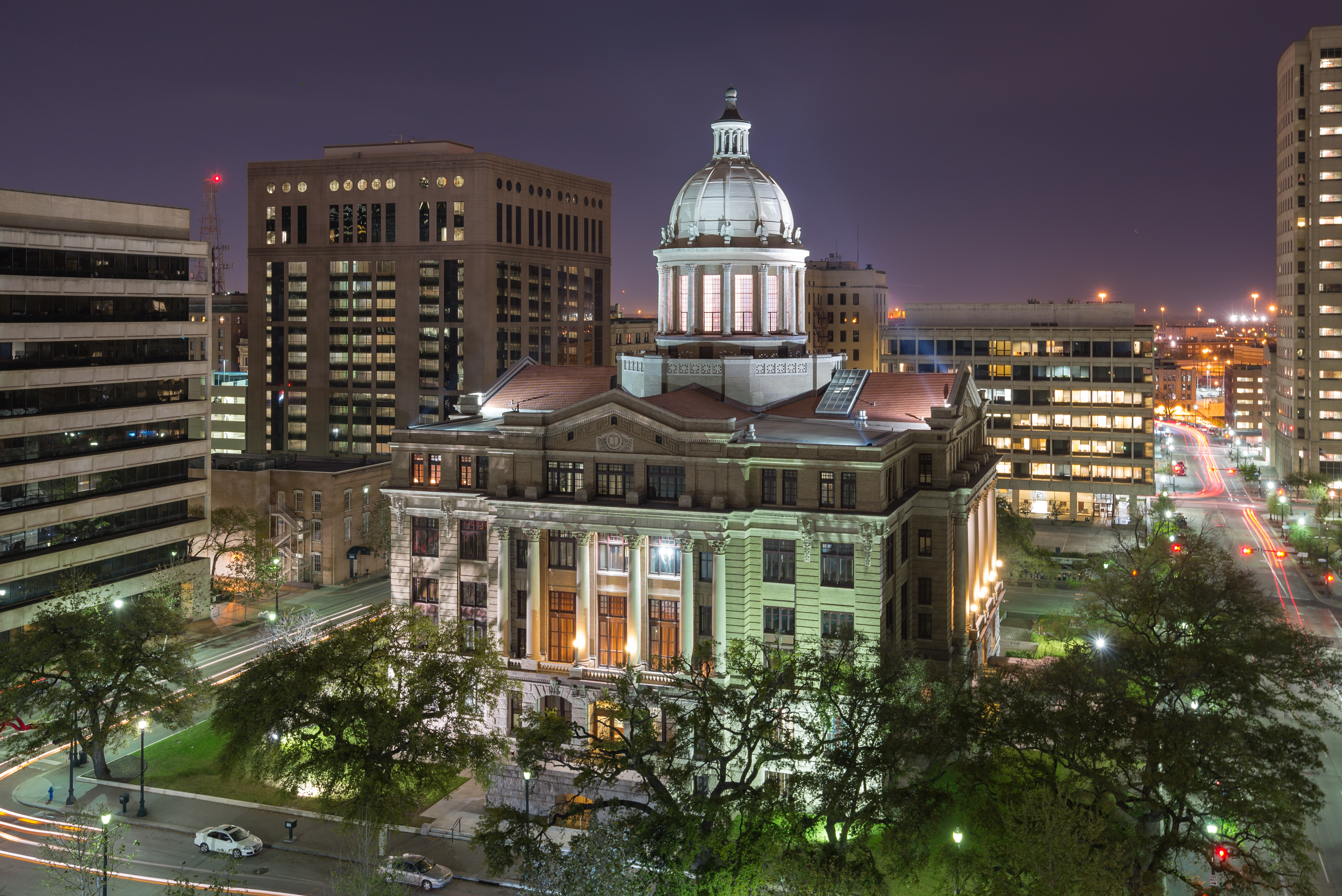
Because of the way traffic is routed, this tour starts on Preston Avenue at Main Street, one block south of the Main-Congress intersection. Courthouse Square, one of Houston’s two original public squares, lies in Third Ward. It is occupied by the fifth Harris County Courthouse (1910, Lang & Witchell) to be built in the square; the courthouse was spectacularly restored in 2011 (PGAL and ArchiTexas).
Turn left onto San Jacinto, left onto Congress, and left onto Fannin. Then turn left onto Texas Avenue.
Texas Avenue was the southern boundary of the 1836 town plan of Houston. Christ Church Cathedral at 1117 Texas (1893, Silas McBee and J. Arthur Tempest) has occupied this corner since the parish was organized in 1839. The Petroleum Building (now Great Southwest Building) at 1314 Texas (1927, Alfred C. Bossom) features Mayan sculptural ornamentation. Annunciation Catholic Church at 1618 Texas and Crawford (1871; 1884-95, N. J. Clayton) and Union Station at 501 Crawford (1911, Warren & Wetmore) anchor the east end of Texas Avenue.
The new anchor of the emerging East End residential district on the east side of 59 is BBVA Compass Stadium, the 22,000-seat home of the Houston Dynamo, at 2200 Texas (2012, Populous.)
Follow Texas Avenue to merge into Harrisburg Boulevard, then slope down into the underpass beneath the Galveston, Houston & Henderson Railroad line. The line cuts a diagonal swath through the near East End. Harrisburg provides the right-of-way of MetroRail’s new 3.3-mile East End (Green) Line, its construction leading to extensive demolition along the north side of Harrisburg in order to widen the street. The R.B. Everett & Co. Building at 3118 Harrisburg exemplifies the showroom and production buildings constructed in this industrial corridor in the second quarter of the twentieth century.
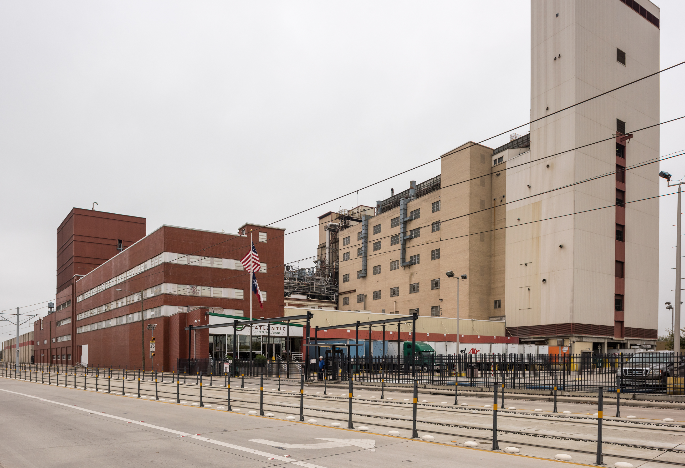 Maxwell House Division of General Foods Corporation's coffee roasting and packing plant.
Dominating the Brady Addition frontage along Harrisburg is the Maxwell House Division of General Foods Corporation’s coffee roasting and packing plant (now Atlantic Coffee Solutions) at 3900 Harrisburg (1948). The immense plant incorporates two earlier structures, both constructed by the Ford Motor Co. as an automobile assembly plant (1914, 1921) as well as later additions. Cleared territory east of the plant occurred not only to accommodate construction of the MetroRail but as industries migrating out of the East End sold off their redundant real estate.
The 1905 east city limit line crossed Harrisburg at its intersection with Bryan Street. Turn right onto Adams past Eastwood Park. At 5100-5114 Harrisburg is a vintage shopping center from the 1920s, behind which is the Texas Avenue Baptist Church (now Iglesia Bautista Houston) at 5102 Texas (1929, Sam H. Dixon, Jr.). Turn left onto Curtin Street where the Shot-Trot House at 4914 Curtin (2004, Brett Zamore) is located. Turn left onto Lenox, then left onto McKinney, then left onto Dumble. Turn right onto Park Drive.
Park Drive traverses the subdivision of Eastwood, laid out in 1911 by developer William H. Wilson. Eastwood, like Wilson’s earlier subdivision Woodland Heights, is especially known for its bungalow-type houses. Bear right onto Telephone Road. Two architecturally significant institutional complexes in Eastwood are the ex-Church of the Redeemer at 4411 Dallas Avenue (1952) and Eastwood (now Dora Lantrip) Elementary School at 100 Telephone Road (1916, Maurice J. Sullivan), a winsome California Mission-style complex overwhelmed by incompatible new additions. Bear left onto McKinney Avenue past the ebullient modernistic Allbritton’s Eats (now La Reynera, 1945) at 4120 McKinney.
Turn left onto Sampson Street past the four-story brick Waddell House Furnishing Co. Warehouse at 800-810 Sampson, circa 1913. Sampson Street veers into Scott Street, right-of-way for the MetroRail’s Southeast (Purple) Line. At the Scott Street-Polk Avenue intersection, turn left onto Polk past the Dahlgren Furniture Studio (now Latino Learning Center) at 3522 Polk (circa 1930, Lamar Q. Cato). Turn right onto Edmundson Street. On the corner of Edmundson and Denver you will see new houses 3612 and 3616 Denver by Studio 8M’s Samuel Nash.
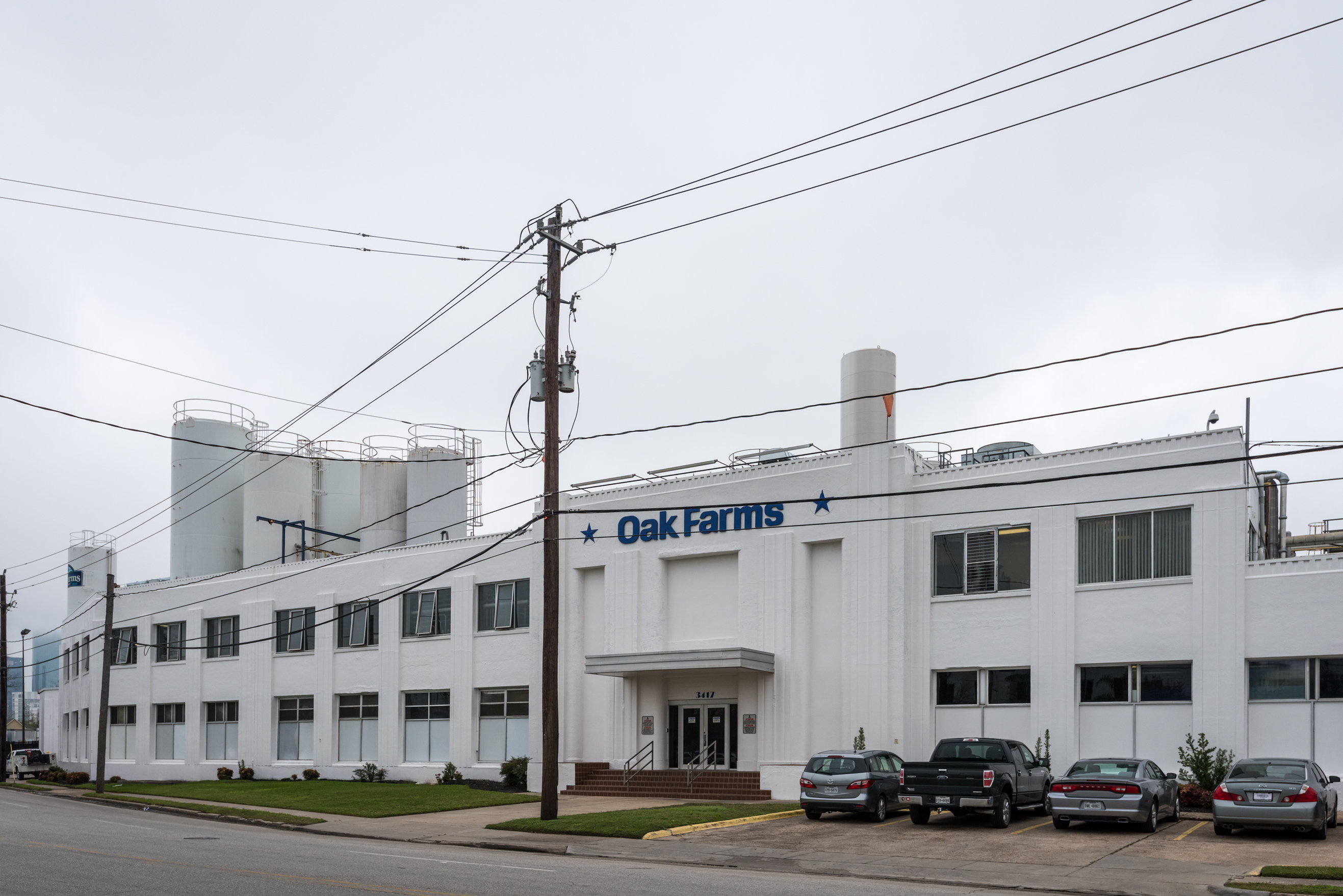 Oak Farms Dairy.
Turn right on Leeland Avenue and cross the train tracks. An avenue of live oak trees marks the 3000 block of Leeland; cleared real estate between Leeland and the Gulf Freeway portends continuation of the post-industrial, neo-suburbia development this section of Third Ward has experienced during the twenty-first century. At 3417 Leeland, you will see the sprawling modernistic Oak Farms Dairy (1937, J. M. Glover). Turn right onto Palmer Street, then right onto Bell Avenue. At 3113 Bell Avenue is a single-family house by Sam Nash (2009). Turn around and go back to Palmer, then turn right on Leeland past the modernistic Schlumberger Building (1938, W. A. McElroy) at 2720 Leeland. Leeland Avenue was where the Houston Electric Company’s Leeland streetcar line ran.
Turn right onto Live Oak Street. At 1312 Live Oak, the block-long General Electric Supply Co. Wholesale Warehouse from the 1930s has been recycled as the Live Oak Lofts. Turn left onto Polk Avenue. The modernistic Houston Lighting & Power Co. Polk Substation at 2501 Polk (c. 1948) dates from the East End’s industrial heyday, as does the ex-Houston Post Building at 2410 Polk (1955, Herbert Voelcker & Associates), which the Post occupied for a mere 15 years before moving to the “suburbs” at Loop 610 and 59.
 Houston Lighting & Power Company Polk Substation.
Turn right onto Dowling Street, then left onto McKinney Avenue. Alfred C. Finn designed the major warehouse structures along this stretch of McKinney — the four-story Standard Sanitary Manufacturing Co. Building (1924) at 2300 McKinney and the four-story Crane Company Building at 2205 McKinney (1926). They are separated by what had been the right-of-way of the San Antonio & Aransas Pass Railway yards between Bastrop and Hutchins. Turn left onto St. Emanuel Street.
St. Emanuel traverses what, in the middle decades of the twentieth century, was Houston’s Chinatown, which occupied the fringes of the distribution center that developed here beginning in the 1920s because of its proximity to rail lines. St. Emanuel exhibits the diverse forms of nothingness --- rather like the number of Inuit words for “snow” --- that dominate Houston’s landscapes. Vacant (or merely closed) buildings, overgrown lots where buildings used to be, parking lots, freeway underpasses, frontage roads: you name it; it’s all here (or not here). St. Emanuel is a mystical urban space that gets you in touch with the essential emptiness and vacancy of Houston. It is where you can savor the intricacy, charm, and mystery of Houston degree zero.
At 1504 St. Emanuel the ex-Ironmen Sports Bar has been graphically animated (and signed) by Bello (2014). St. Emanuel passes the back of Kim Son Restaurant (1993) at 2001 Jefferson.